World Soil Reference Collection
World Soil Reference Collection
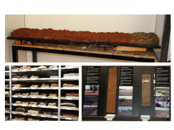
The collection of the ISRIC World Soil Museum contains over 1100 soil profiles from more than 90 countries in the world. These preserved soil profiles, or monoliths as they are called, are vertical sections of the soil that show the composition, layering and structure of the soil in manner very close as to how the soil may be viewed in the soil pit in the field.
Nature and use of collections
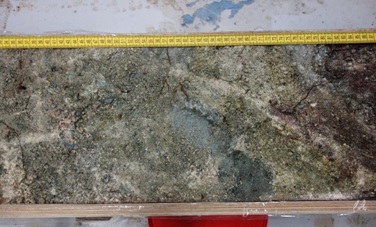
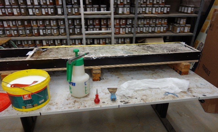
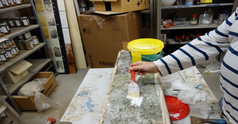
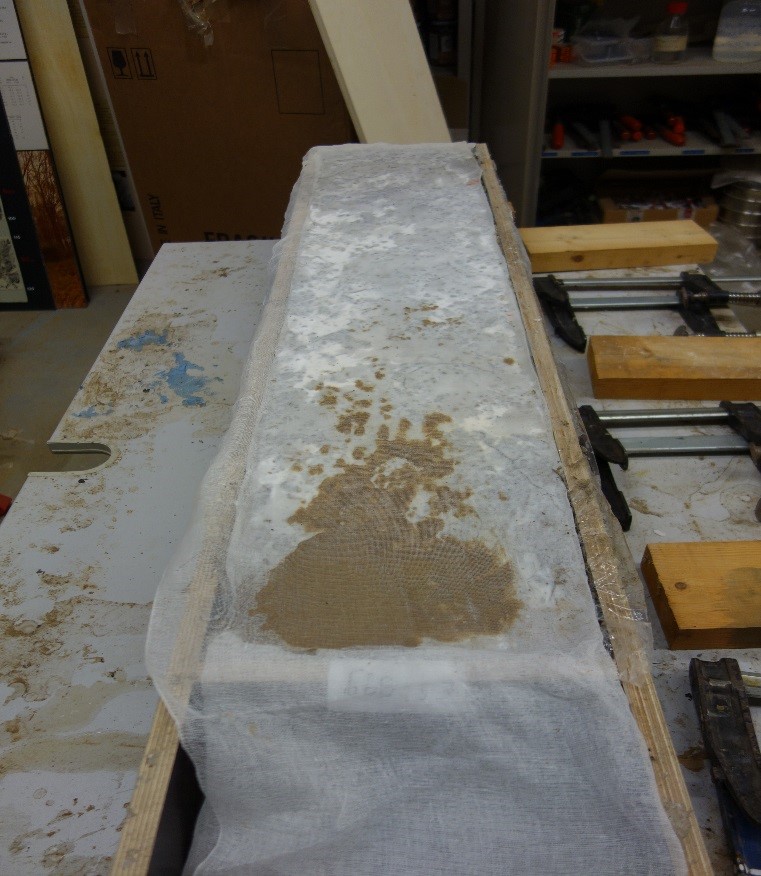
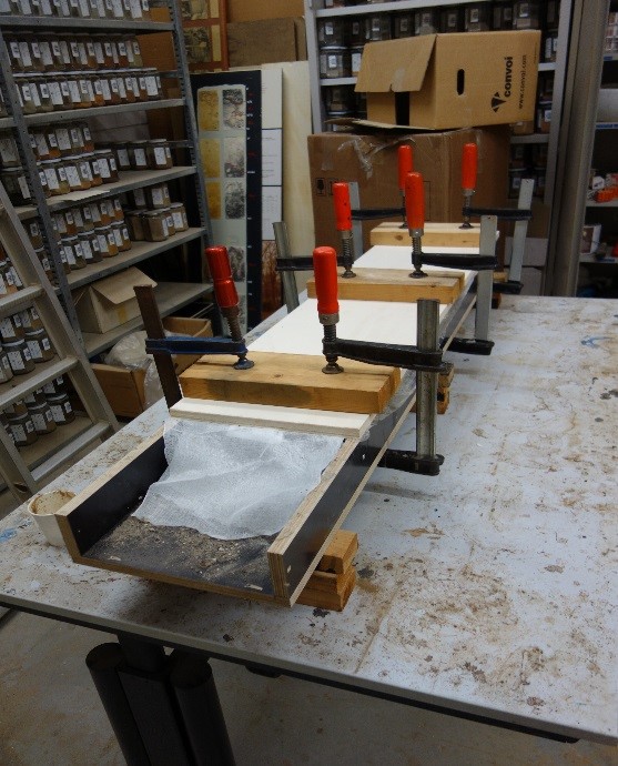
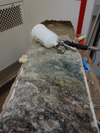
Most profiles have been sampled up to a depth of 1.50 m and are conserved through impregnation with diluted lacquer or glue. The thickness is about 6 cm. Such preserved soil profiles are called soil monoliths.
The world soil reference collection is unique in the world and specimens are representative for the 32 units of the legend of the Soil Map of the World, or it successor, the Harmonised World Soil Database (HWSD) . The soils in the collection have been described, sampled and analyzed in accordance with standard international methods. The ISRIC reference collection is used for verifying national datasets, compiling global soil databases, comparing different methods of reference sample analysis, and for developing rules for soil property estimation. The uniqueness and the value of the collection of soil profiles (soil monoliths) and associated collections, such as soil samples, hand pieces, thin sections, slides, is emphasized by the fact ISRIC is the only World Data Centre for Soils (WDC-Soils) within the World Data System of the International Council of Science (ICSU).
The soil profile
When we dig a soil pit, often layering is seen. These layers are the result of chemical, physical and biological processes that have taken place through time. The combination of the thickness and the properties of these genetic layers, called horizons, make a soil unique.
The soil profile is defined as a vertical section of the soil that is exposed when a soil pit, or hole, is dug from the surface of the soil to the underlying bedrock. Soil profiles are as pages in a book telling the story of the landscape. From study of the soil profile information may be derived on its properties and the quality of soils for various uses. One may also derive past environmental conditions and processes or historical events in human history; the soil as an archive for past events.
What is a soil monolith?
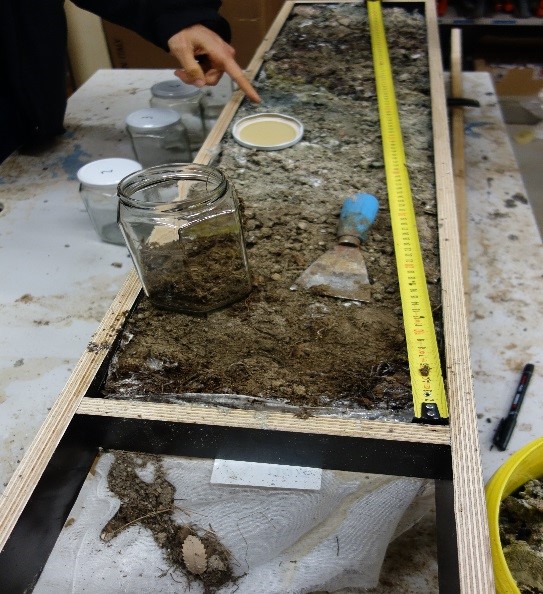
A soil monolith is a vertical section of soil, sampled from the field, and prepared with a binding agent for preservation. These profiles are vertical sections of the soil that show the composition, layering and structure of the soil in manner very close as to how the soil may be viewed in the soil pit in the field. Most profiles have been sampled from a column with a width of 25 cm and up to a depth of 1.50 m. They are conserved through impregnation with diluted lacquer. The thickness of the preserved monolith is typically about 6 cm.
Monolith sampling in the field
Taking a monolith in the field is a team work activity that requires brain and brawn. The sampling is carefully planned in collaboration with local institutions. After selection of a representative site in the field, full descriptions are made of landscape and soil, after a pit has been dug. When all genetic soil layers, horizons, have been sampled for analyses, a column is dug out. A wooden box is carefully fitted around the column. The column is then loosened from the profile wall, step by step, until it is completely isolated from the soil. The sample is kept undisturbed by wrapping the column in cloth during the detachment process. After the column has been lifted out of the pit, the surplus material above the box is removed with a knife. The box is then closed and brought to the nearest (which can be quite far at times!) road by two strong persons. The box is ready for transport to the ISRIC workshop in Wageningen.